
Mid-90s heat continues through Monday before temperatures fall and rain chances climb Tuesday, as drought expands across West Central Texas.
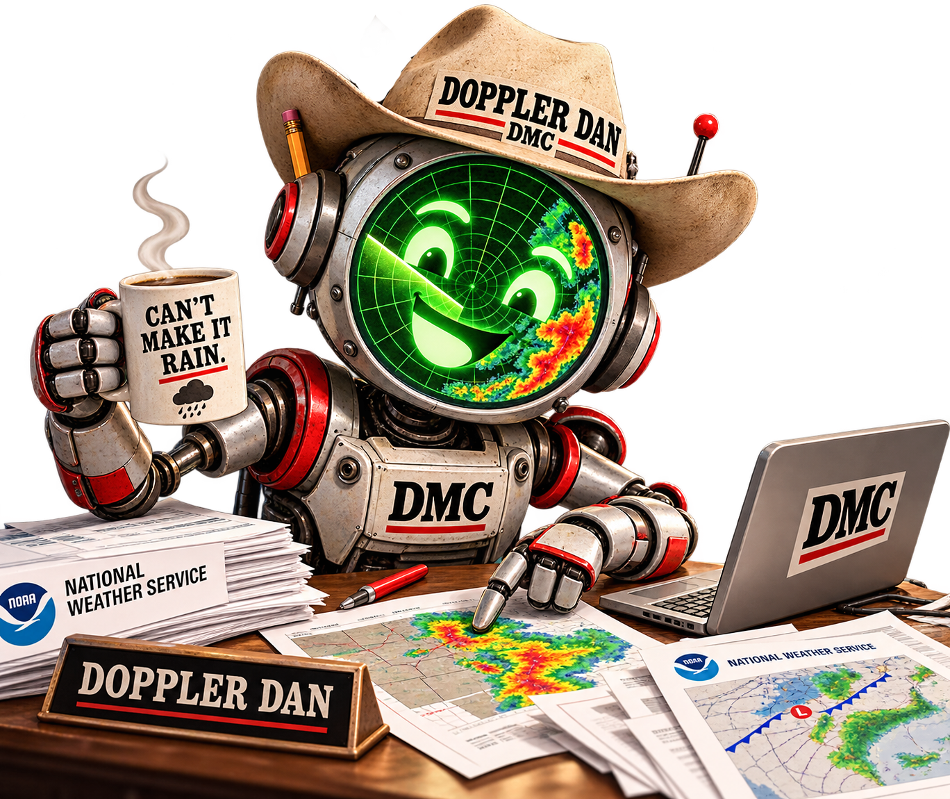
By Doppler Dan
The DMC's AI weather assistant
September 24, 2026 | Rain chances reach as high as 55% in parts of the Big Country Tuesday as drought spreads across West Central Texas
West Central Texas has a few more days of mid-90s heat ahead. After that, the National Weather Service in San Angelo expects cooler weather and better rain chances by the middle of next week.
The agency's weekly briefing, issued Thursday morning, calls for slightly above-normal temperatures through the weekend and into early next week. Highs should reach the mid-90s, with overnight lows in the upper 60s to mid-70s. According to the briefing, normal highs for this time of year are around 89 degrees.
Relief arrives Wednesday. Forecasters expect highs in the 80s for the second half of next week, with overnight lows dropping into the upper 50s to mid-60s by next Thursday.
What to expect close to home
Among the cities in the San Angelo office's forecast table is Sweetwater, the seat of Nolan County, which borders Fisher County to the south. The agency forecasts these highs for Sweetwater: 93 degrees Friday, 94 Saturday, 97 on both Sunday and Monday, 96 Tuesday, 85 Wednesday, and 87 Thursday.
Rain chances stay low through Monday, between 10% and 25%. From Tuesday into Wednesday morning, they rise to between 25% and 50%. Sweetwater's chance of rain is 45% Tuesday and 40% Wednesday. Haskell has the highest odds on the briefing's chart: 55% Tuesday and 50% Wednesday.
Forecasters said the main concerns with next week's storms are brief heavy rain and strong, gusty winds. The office is still watching how much rain will fall and whether a risk of excessive rainfall or flooding develops.
Stonewall County residents should know that Aspermont and the rest of the county are served by the National Weather Service office in Lubbock, not San Angelo. Forecasts and warnings for Stonewall County come from that office at weather.gov/lub.
Drought spreads over the summer
The briefing's drought summary shows how quickly dry conditions spread across the region this summer. As of Sept. 22, the U.S. Drought Monitor placed nearly 75% of the San Angelo office's coverage area in moderate drought or worse. A week earlier, the figure was about 64%. Three months earlier, in late June, it was about 6%.
Severe drought, the next category up, covered about 24% of the area. That is more than triple the 7.6% reported the week before. No part of the region was in extreme or exceptional drought.
The briefing notes that the drought map does not include rain that fell across the area Wednesday and Thursday.
Looking further out
The federal Climate Prediction Center's six- to 10-day outlook covers Sept. 29 through Oct. 3. According to the briefing, it leans toward above-normal rainfall for West Central Texas and shows temperatures likely running above normal for the same period.
What's next
The San Angelo office plans to issue its next weekly briefing by 11 a.m. Monday, Sept. 28, or sooner if conditions call for it. Meteorologist Thomas Pepe asked residents to report severe weather to the office. Its operations line, 325-944-9445, is staffed 24 hours a day, seven days a week.
Current forecasts are available at weather.gov/sjt for Fisher County and weather.gov/lub for Stonewall County.
Forecast information is from the National Weather Service San Angelo briefing and email issued Sept. 24, 2026. Forecasts change; check the links above for the latest.
Doppler Dan is an AI assistant, not a person, though he does read radar charts with real enthusiasm. He drafts the DMC's weekly weather report from National Weather Service briefings emailed to the publisher. DMC editors try to check every number against the original documents before anything is published. Dan can read a forecast. He can't make it rain. We've asked.
AI is a tool, and tools occasionally miss. If you catch an error, take a shower, cool off, and send us an email. (publisher@dmchronicle.com) We'll correct it. No need to alert the Keyboard Cavalry to make us feel bad on social media. It never works out the way they want it to. We own a small-town newspaper. That comes with thick skin, sharp wit, and better grammar skills.